
Measurement
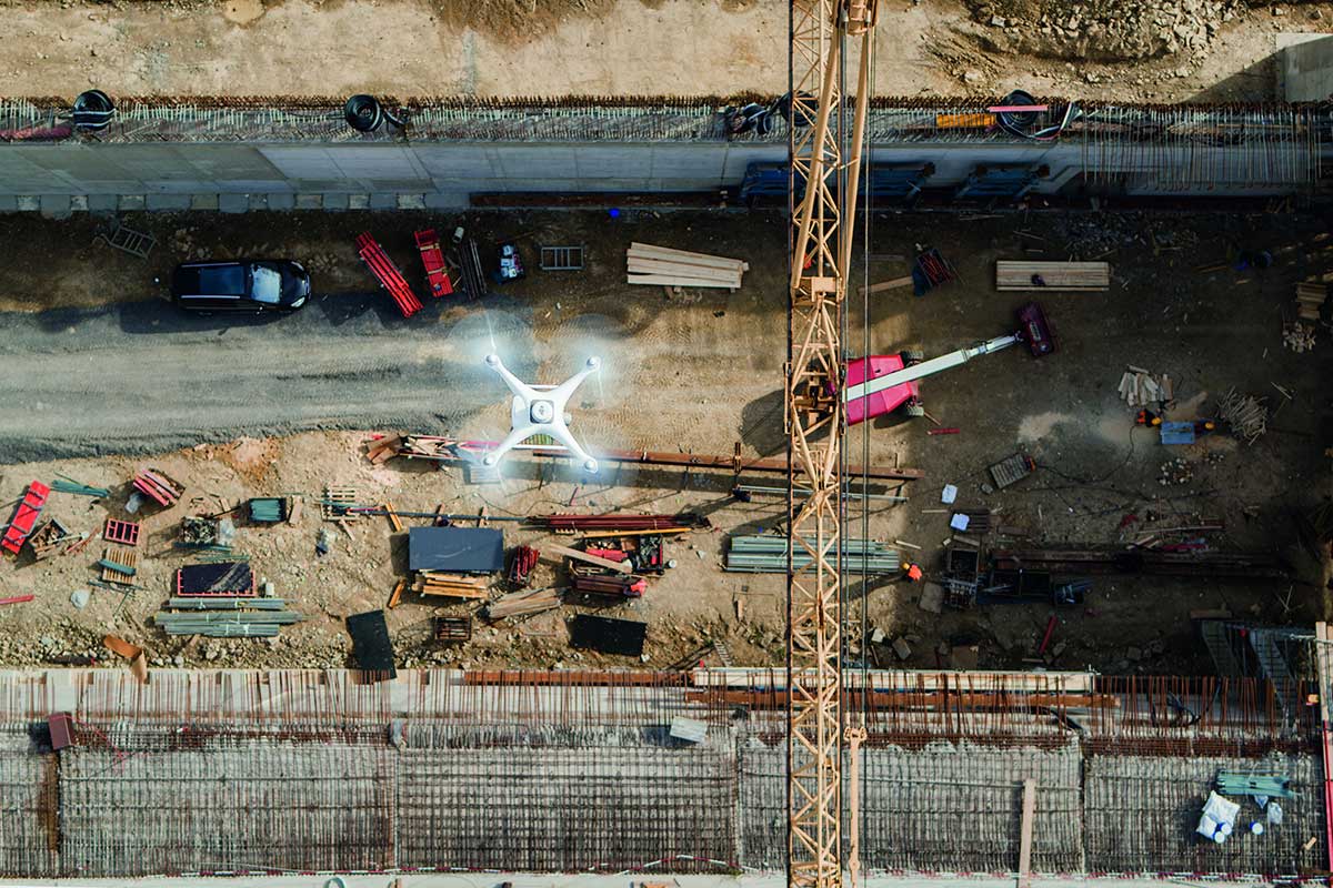
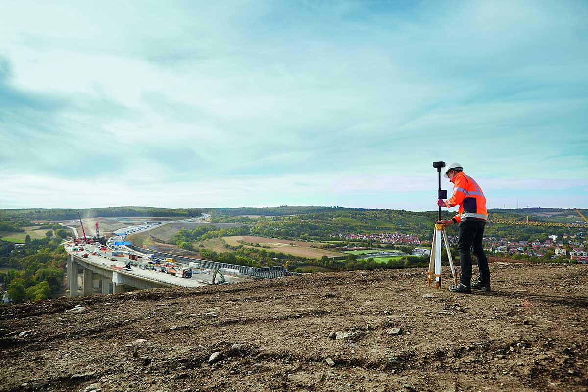
In the areas of application listed, precise survey data are undoubtedly the prerequisite for project success. Drones are increasingly being used to produce survey work and terrain maps as quickly, efficiently and economically as possible. Modern UAVs are capable of producing maps with centimeter accuracy by means of integrated satellite-based navigation (or via mobile ground stations). However, for many construction projects, such as the building of highways or railroad lines, maps alone are far from sufficient. In combination with powerful software, drones enable a wide range of visualizations and evaluations of captured geodata. For example, point clouds can be created and classified by laser scanners (LIDAR), building information modeling (BIM) can be calculated, and volume and mass calculations can be performed. In addition to creating 3D models, the data can also be used to generate 2D orthophotos to provide a scaled overview of the construction site. Maps created with drones optimize the planning of construction projects, allow accurate documentation of project progress, and thus help identify potential problems early on and minimize risks for developers and contractors. Science also relies on high-precision drone mapping. For example, the accurate documentation of features and their exposure is essential in archaeology. Drones enable the cost-efficient production of a wide range of evaluable map material for a wide variety of applications.
Vorteile des Drohneneinsatzes:
- Precise results
- Cost-efficient creation of map material that can be analyzed in a variety of ways
- Targeted documentation
Fields of application:
- Planning of construction areas
- Routing of traffic routes and supply lines
- Documentation of archaeological excavation areas
- Municipal building and civil engineering
- Quarries, gravel works, etc.
- Overburden
- Pits
