|
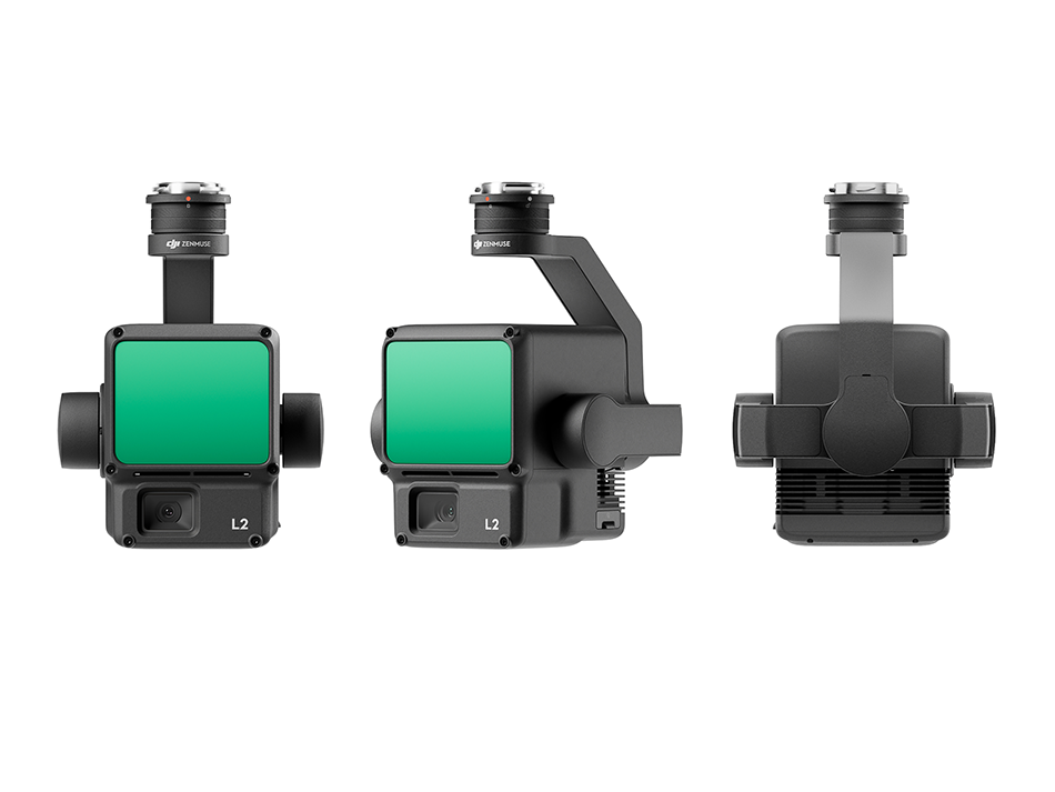
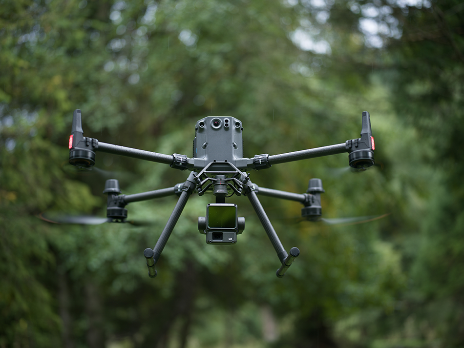
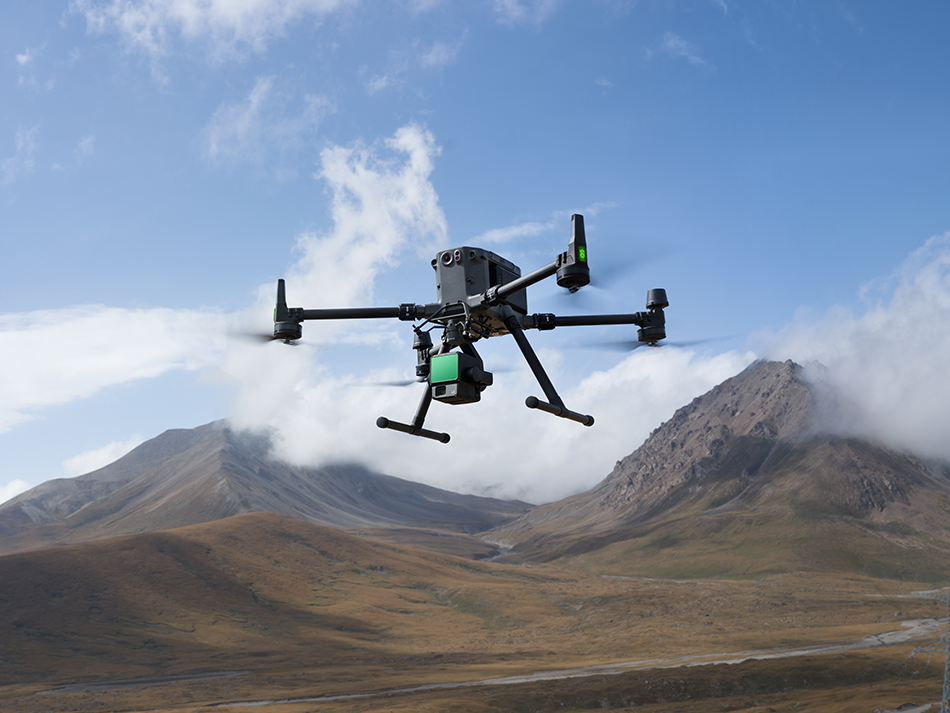
DJI Zenmuse L2 - Far ahead with highest precision!


|

Discover the future of agricultural drone technology with DJI Agras!

Be one of the first to experience the popular DJI Avata 2 in action.

Immerse yourself in a world of possibilities with intuitive motion controls that allow you to conquer the skies in a revolutionary way.

In today's world of film and television production, innovation is the key to success.

Celebrate the 30th anniversary of the leading trade fair for innovation in general aviation with us at AERO Friedrichshafen!

The DJI Dock 2 is 75% smaller and 68% lighter than its predecessor, read more.

We are pleased to announce that DJI is hosting an exciting webinar on "DJI Zenmuse L2 in Practice".

Did you know that DJI offers a free maintenance service for the following enterprise drones?

At the start of the new year, we received the news that DJI is restructuring its Geo Awareness System and will no longer be using "No Fly Zones".

In the latest YouTube video, we take a closer look at the innovative logistics solution and its various areas of application and introduce you to the drone.